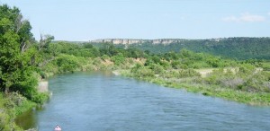
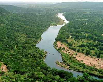
| The Brazos River rises at the confluence of its Salt
Fork and Double Mountain Fork near the eastern boundary of
Stonewall County and runs 840 miles across Texas to its mouth on the
Gulf of Mexico, two miles south of Freeport in
Brazoria County. The two
forks emerge from the Caprock 150 miles above the confluence, thus
forming a continuous watershed 1,050 miles long, which extends from New
Mexico to the Gulf of Mexico and comprises 44,620 square miles, 42,000
of which are in Texas. It is the longest river in Texas and the one with
the greatest discharge. It has all of the varied characteristics of a
trans-state stream, from the plains "draw" drainage through canyons at
the breaks of the Llano Estacado, the West Texas rolling plains, and the
Grand Prairie hill region, to its meandering course through the Coastal
Plain. The elevation of the streambed at the confluence of the two forks
is 1,500 feet above sea level. From this point the Brazos descends to
the Gulf at a rate diminishing from 3½ feet a mile to one-half foot a
mile. |